PhD researcher · CU Boulder

Daniel Huterer Prats

I study how spacecraft decide what to image and when to send the data home. My work at the Autonomous Vehicle Systems Lab combines reinforcement learning with spacecraft simulation in Basilisk and BSK-RL.

Boulder, CO

Recent research

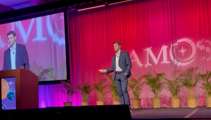
Daniel Huterer Prats presenting his catalog-maintenance research at AMOS 2026
AMOS · September 2026

Responsive imaging and catalog maintenance

My AMOS 2026 paper studies repeated observations and changing target priorities across LEO, MEO, and GEO. The scheduler selects imaging and downlink actions while managing onboard resources.

Research and engineering experience

  • Aug 2024+

    Autonomous Vehicle Systems Lab Graduate Research Assistant - Boulder, CO - Aug 2024 to Present

    Researching autonomous RSO imaging and tasking in Basilisk and BSK-RL. Also developing communications-link models and fault-injection simulations for space-system research.

  • Aug 2024

    Laboratory for Atmospheric and Space Physics GNC Engineer - Boulder, CO - Aug 2024 to Jan 2025

    Simulated open/closed-loop maneuvers for the Emirates Mission to the Asteroid Belt and ran Monte Carlo analyses for gravity-assist and flyby scenarios.

  • Jan 2024

    Infinite Orbits Systems Engineer and Project Coordinator - Toulouse, France - Jan 2024 to Aug 2024

    Led systems engineering and project coordination for a European Commission OTV consortium, including rendezvous and docking safety concepts.

  • Aug 2023

    ALTEN Aerospace Consultant - Toulouse, France - Aug 2023 to Jan 2024

    Owned ESSP FastMon updates and GNSS monitoring pipelines, and contributed to aerodynamics optimization work for Olympic track cycling.

  • Sep 2022

    UPC Space Systems Lead + Astrodynamics Research - Barcelona, Spain - Sep 2022 to Jul 2023

    Led wildfire-tracking mission design and developed a multi-gravity-assist optimization tool balancing transfer delta-v and arrival time.

  • Jun 2021

    NYU Abu Dhabi Lead Project Engineer / Summer Research Assistant - Abu Dhabi, UAE - Jun 2021 to Aug 2022

    Led high-power rocketry development and built ML-ready planetary-science data pipelines for atmospheric opacity and temperature-pressure modeling.

  • May 2019

    NYUAD Galaxy Formation Group Undergraduate Research Assistant - Abu Dhabi, UAE - May 2019 to Jun 2023

    Analyzed NIHAO galaxy simulations and tidal stripping effects to study dark matter and baryonic structure evolution across dwarf galaxies.

Selected work

Daniel Huterer Prats presenting at AMOS 2026 in Maui
AMOS 2026 · Conference

Responsive Imaging and Catalog Maintenance

Autonomous RSO revisits and imaging priorities across LEO, MEO, and GEO, using a target-wise attention policy.

Preview and links

A reinforcement-learning scheduler coordinates repeated observations, downlink, and onboard resources while responding to changing target priorities. Variable-duration actions couple catalog maintenance to spacecraft operating constraints.

AMOS 2026 presentation visualization: spacecraft imaging and ground-station access in the simulated orbital catalog. 48 seconds.
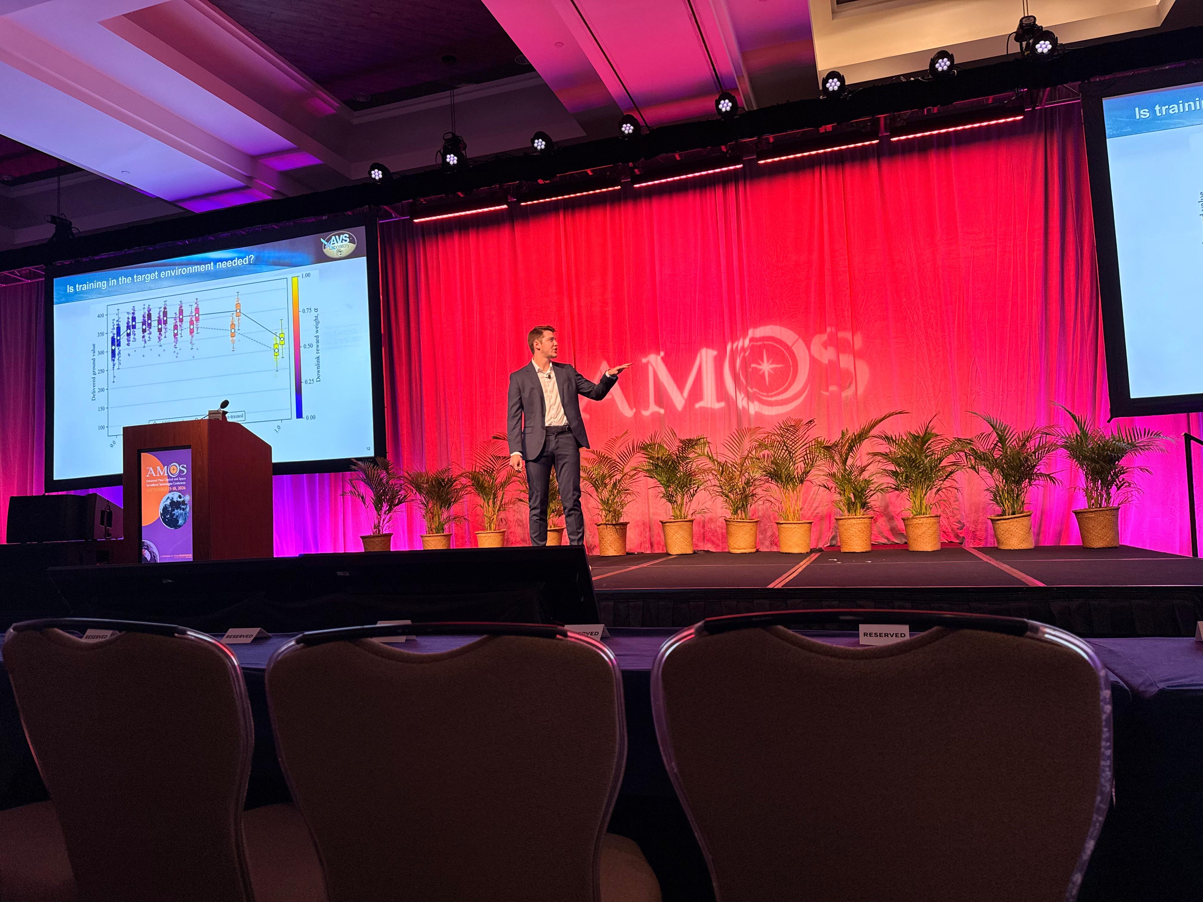
Daniel discussing the orbital-regime training comparison on stage at AMOS 2026
Presenting the comparison between LEO-only and mixed-orbit training at AMOS 2026.
LEO-to-any space-to-space imaging simulation snapshot
AAS GN&C 2026 • Conference

Imaging and Downlink Across Orbital Regimes

How the training reward changes the balance between collecting images and delivering them to the ground.

Preview and links

AAS 26-052 examines imaging–downlink tradeoffs and transfer to mixed-orbit catalogs. Its journal extension has been submitted to the Journal of Aerospace Information Systems.

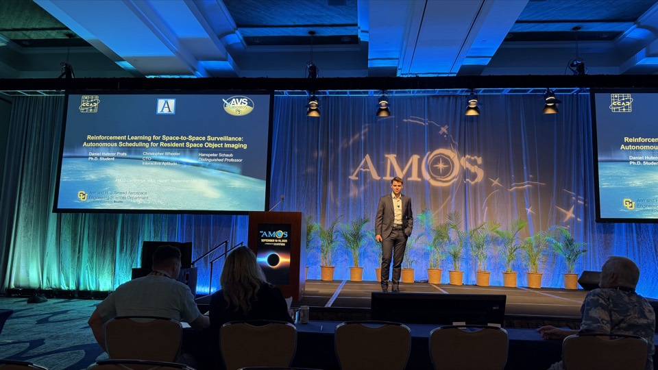
AMOS 2025 presentation photo
AMOS 2025 · Conference

RL for LEO-to-LEO Space-to-Space Imaging

Learning imaging and downlink decisions under visibility, illumination, and spacecraft resource constraints.

Preview and links

Resource-aware reinforcement learning jointly schedules LEO-to-LEO RSO imaging and downlink under orbital visibility, illumination, power, storage, and reaction-wheel constraints. The journal extension is under review at the Journal of the Astronautical Sciences.

Polaris visualization from the AMOS 2025 presentation: a LEO observer tasking its sensor among resident space objects. 87 seconds.
Two colliding galaxies
Journal (MNRAS)

Dark Matter and Galaxy Formation

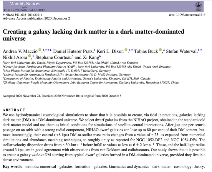
Co-authored work on how tidal interactions can produce dark-matter-deficient galaxies in realistic cosmological contexts.

Preview and links

This study connects simulated tidal stripping dynamics with observed low dark-matter signatures in dwarf galaxies.

Spacecraft flyby around Jupiter
Master's Project · UPC

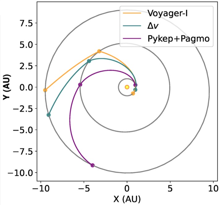
Multi-Gravity Assist Optimization

Evolutionary trajectory design for gravity-assist sequences, trading transfer time against total delta-v.

Preview and links

The optimization pipeline orders planetary flybys and timing windows to discover efficient and non-intuitive interplanetary transfers.

Moon and Mars water purification concept visual
Student Systems Study

Moon and Mars Water Purification

Comparative architecture study for extraction and purification of subsurface water under planetary constraints.

Preview and links

Evaluates purification chains and energy-resource tradeoffs for sustained lunar and Martian in-situ operations.

Away from my desk

Where are the space stations?

Denver, Colorado, United States

Loading orbital data…

Earth view

Loading 3D Earth…

Space station
Pass type

CelesTrak orbital elements

Visibility and prediction limits

Rise and set use the geometric horizon. Bearings run clockwise from true north: N 0°, E 90°, S 180°, W 270°. Visible intervals require elevation of at least 10°, the Sun at least 6° below your horizon, and a sufficiently sunlit station. A pass can fade into Earth’s shadow before it sets.

A dark sky alone does not mean the station is visible; a station can also be sunlit during the middle of the night. Clouds, local terrain, light pollution, station orientation, and brightness are not modeled. Seven-day estimates use SGP4 and should be rechecked near the pass, especially after maneuvers. Elements older than three days disable predictions.

Orbit data: CelesTrak · Propagation: Satellite.js · Cities: Open-Meteo / GeoNames · NASA ISS viewing guidance

The 3D paths are propagated orbits at the current Earth orientation, not surface ground tracks. Station markers are enlarged. Earth imagery: NASA Goddard Blue Marble, Reto Stöckli and Robert Simmon; this historical mosaic is not live weather.

NASA Astronomy Picture of the Day

Loading NASA’s latest entry…

Astronomy Picture of the Day

View original on NASA